Big Bend
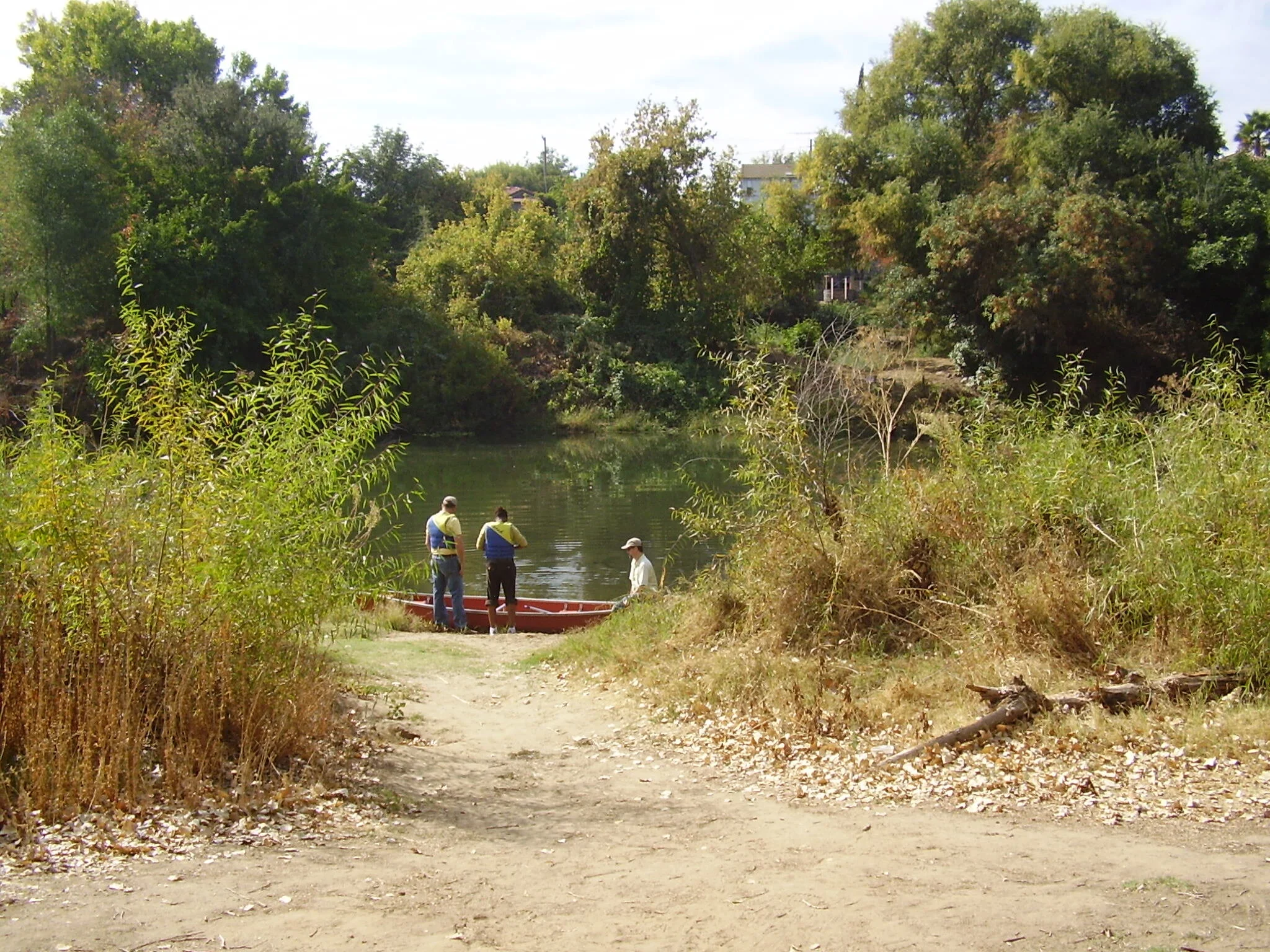
Project Overview: The Big Bend project is one of many projects in the Tuolumne River Parkway. The lower Tuolumne River extends from the Stanislaus County-Tuolumne County border, approximately 80 miles west of Yosemite National Park, west through Stanislaus County and the cities of La Grange, Waterford, Ceres and Modesto, to where it flows into the San Joaquin River. Specifically, Big Bend is located along river miles 6 and 7 of the Lower Tuolumne River, east of the San Joaquin River in Stanislaus County approximately 7 miles southwest of the City of Modesto.
Multiple Benefits: The goals of the restoration project are to improve the functionality of the Tuolumne River floodplain to support riparian plant species, juvenile chinook salmon and steelhead by restoring approximately 254 acres of floodplain.
The objectives for the restoration project are:
Improve channel-floodplain connectivity by increasing the frequency of floodplain inundation on the project site, improve natural regeneration of native riparian plant species, and improve rearing habitat for juvenile chinook and steelhead. Spawning, rearing, and migrating habitat of other native fishes will also be improved.
Preserve existing riparian vegetation and plant native riparian species on floodway surfaces appropriate for each species' life history.
Remove invasive exotic vegetation.
Provide for public education and involvement in the restoration activities on the northern property (owned by the ESRCD).
Key Partners:
California Department of Water Resources
Flood Protection Corridor Program
United States Department of Agriculture
Natural Resources Conservation Service
NOAA Fisheries
East Stanislaus Resource Conservation District
San Francisco FERC Riparian Funds